Environment & Farming
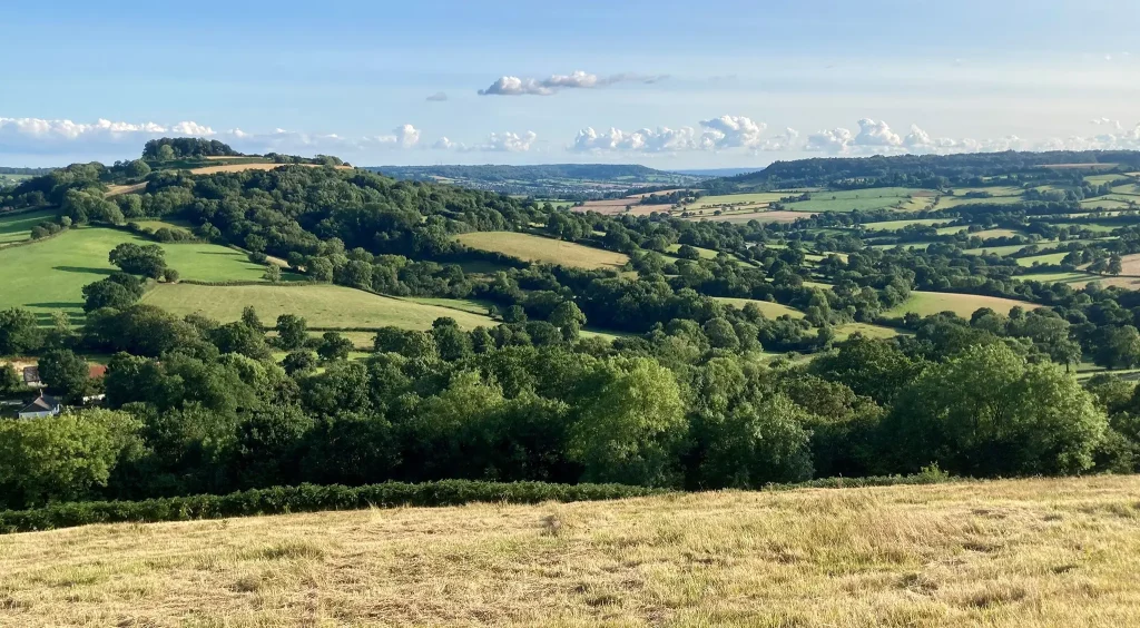
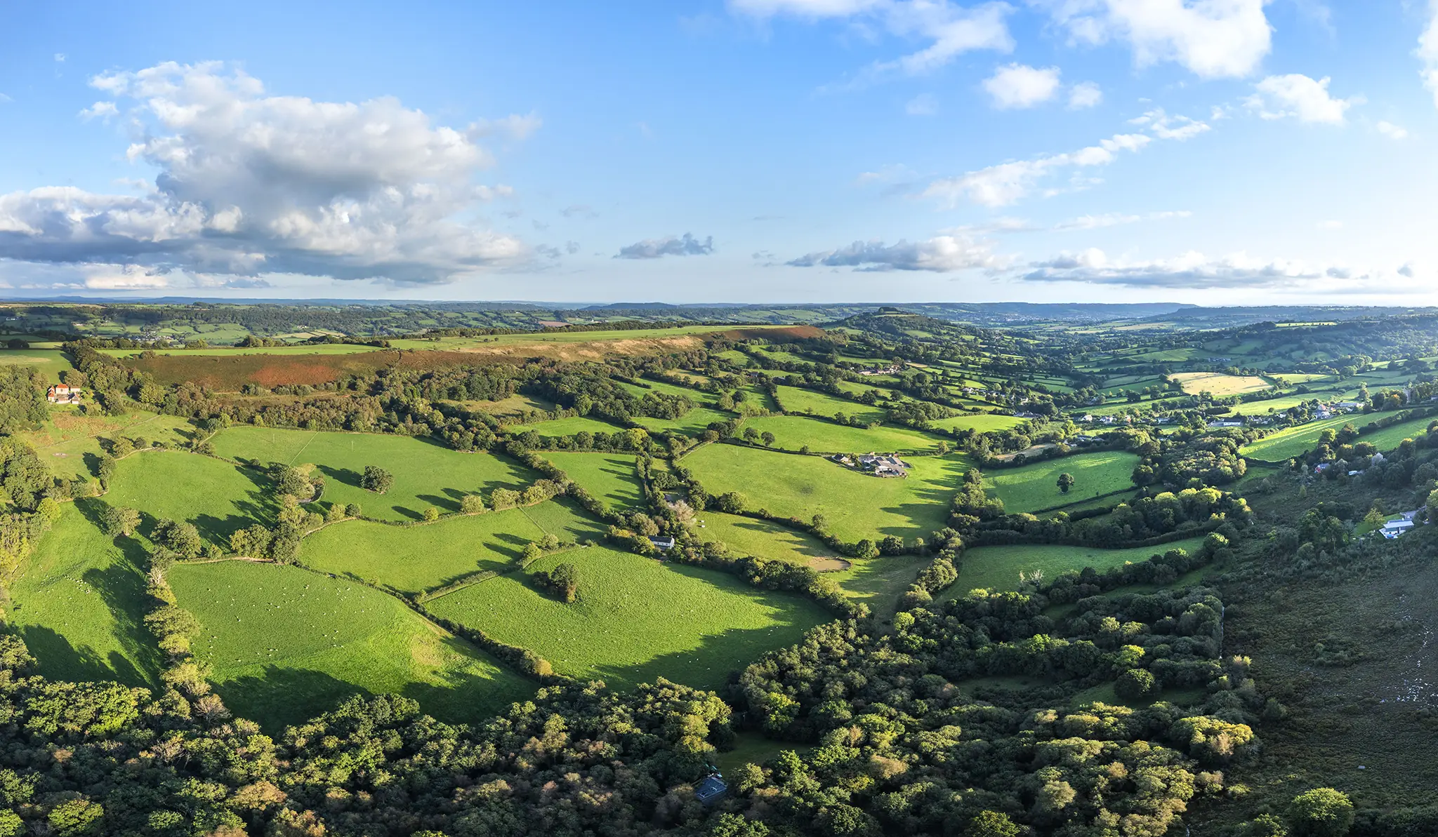
Luppitt provides a quintessential example of a lowland pastoral landscape, and is of national importance
Landscape
Luppitt parish
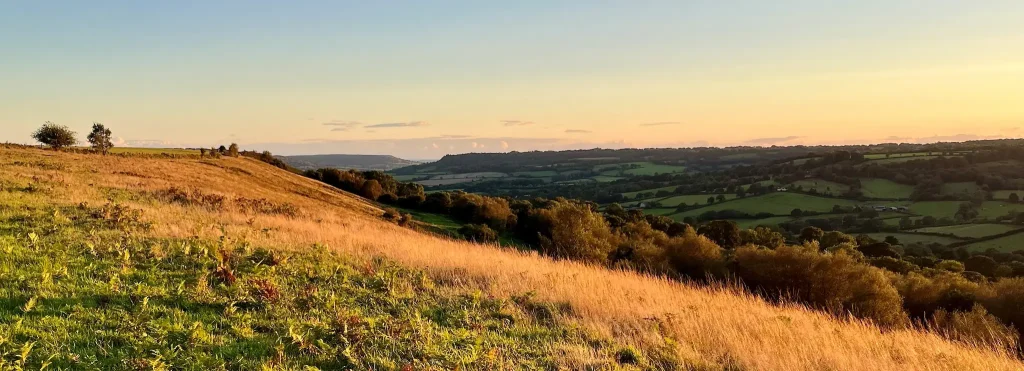
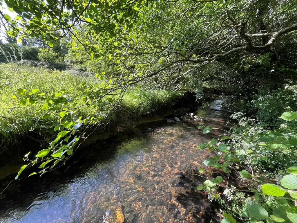
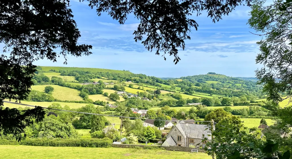
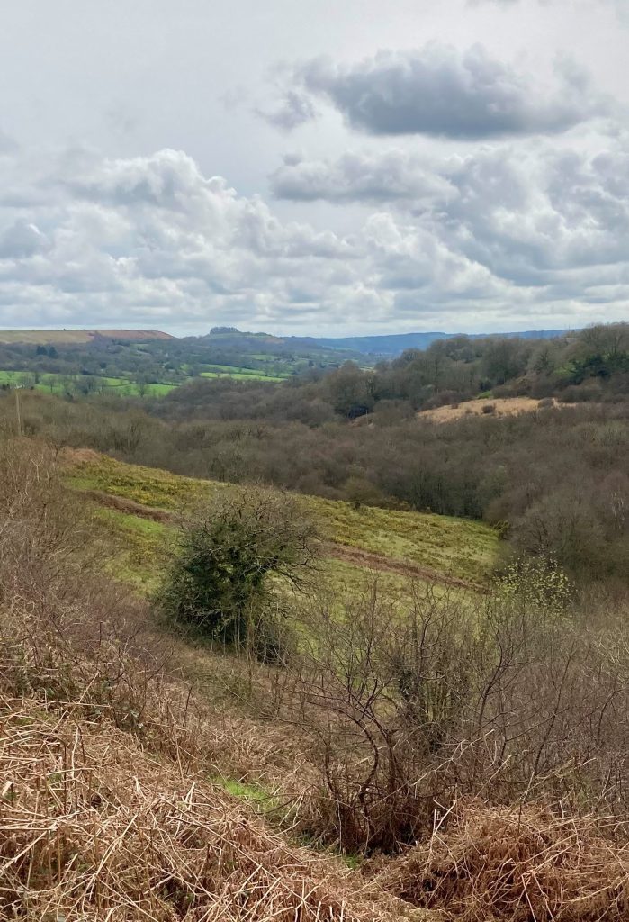
Luppitt village sits high on the side of a distinctive steep-sided valley, carved out of the flat-topped East Devon Plateau, within the Blackdown Hills National Landscape. At the head of the valley, the River Love flows through Hense Moor, and winds its way south, passing the hamlets of Beacon, Wick and Shaugh, to join the River Otter at Langford Bridge.
The distinctive flat-topped Hartridge Common extends south from Hense Moor, to the hamlet of Beacon, and on to Dumpdon Hill, which dominates the view of the valley from Honiton, with its distinctive crest of trees.
Luppitt farming
LANDSCAPE
Luppitt is a long-standing farmed landscape, characteristic of the wider Blackdown Hills, with a complex network of small fields, thick hedges and copses on the sides of a deep combe. This is predominantly a livestock farming area, historically with many dairy farms, and today mostly beef and sheep enterprises.
Useful links
Related links for further reading